
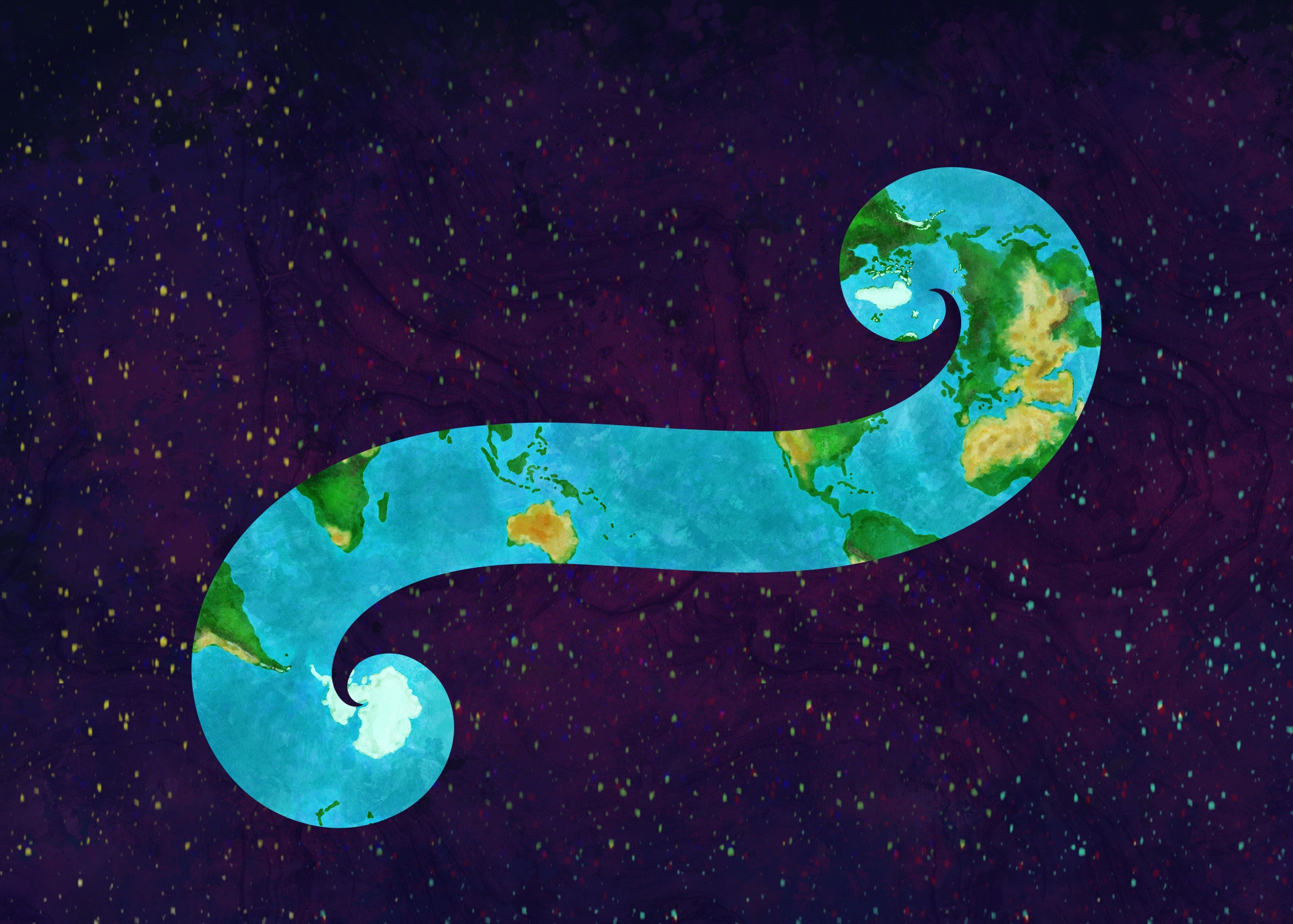
All countries are in a straight line. If you make it wide enough.
Or long enough, as it’s on a spheroid.
Or use the proper projection.
Yeah, like the Euler Projection.
deleted by creator
lol, accurate but a bit difficult to see a lot of continuity.
Oh wow! All countries are in the same line!!!

The linked latitude longitude graph looked like it was all in a pretty straight lines though.
It’s actually a curved line
Or if you use a suitable projection. I’m pretty sure you can pick some really wild projection and make it work with another letter too.
Or if you use a suitable projection
While true, this line is pretty narrow considering it is only showing one hemisphere.
over on the non-federated link aggregation site, posts like this would be in /r/mapporncirclejerk, not the main map sub :/
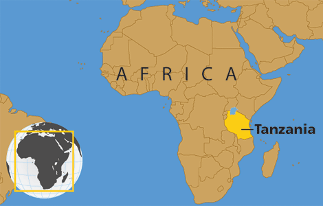
Côte d’Ivorie
It’s weird they use this as their “English-language” name but I don’t really have a point, just hoping to watch a thread become a comment shit show
It makes just as much sense as calling it Türkiye.
Türkiye
I’m sorry. I don’t see the character difference. What did I miss?
You spelled it right but pronounced it wrong
The 2 dots on the “u”, I think they are mandatory in English too (not so sure, though)
Yes it’s mandatory by law, there are penal sanctions and chance to get blacklisted by Türkiye and Erdoğan if you don’t abide.
I’m too punctilious, I see it now
Côte d’Ivoire
Did you know?
All countries are in a straight line?

Please send bitcoin, save the dream 😎
“Fraction of a dot”
*with their anglicized names
India, for example, has been traditionally referred to as Bharat (depending on language root) domestically and among the 100s of languages and dialects used there the name India is never used. Similar to Deutschland and Germany.
What about in the second official language of India, English? :P
The constitution uses “India” in English.
But yes they’re the English names…
It does out of a sense of pragmatism rather than any deeper association to national identity. English is not an indigineous language to India and was enforced upon the populace for a few hundred years. Indian people do refer to themselves as Indian when speaking English, but not when they’re speaking an actual Indian language, which I assume is similar for countries like Germany etc.
Did you think someone was unaware that India’s use of English stems from colonialism? Because otherwise I don’t understand what you’re saying.
The purpose of my comment (to clarify) was that English is a commonly used (even official) language in India, and that the name when using that language is India, rather than Bhata, because your comment to me implied that “India” just wasn’t used by the citizens of India when conversing with fellow citizens at all.
Did you think someone was unaware that India’s use of English stems from colonialism? Because otherwise I don’t understand what you’re saying.
It would be naive to assume otherwise. Most curriculums, including many Western, do not cover colonialism. So there are, as remarkable as it may be to you or me, many who don’t know.
English is a language that is used in certain institutional settings due to the legacy of colonialism. It’s not commonly used by laypeople, especially within regions with common linguistic roots because that would be unnecessary.
Due to it being a particularly diverse region (ethnically, liguistically and culturally) Indian people in India don’t generally refer to themselves as such except when they need to be understood from a foreign perspective. That being said its not really that different from a German referring to themselves as die Deutschen. People in Germany are not running around calling themselves German to each other.
I agree with you. When the language is used, which tends to be within legacy colonial institutions, the term India is used. That’s just not a common circumstance.
but what’s your point in stating the obvious?
The problem with saying “X language is not indigenous to Y place” is that it just depends how far back you go. France, Spain, Portugal and Romania had Latin enforced upon them, and what about Patois and Nigerian Pidgin where they’ve developed to the point of being different languages, spoken only in the place they developed, or Singlish where nobody forced English due to the circumstances surrounding Singapore’s colonisation, but it was a common language spoken by all of the various ethnic groups there and picked up features from some of the other languages spoken there?
If Indian people don’t refer to themselves as Indian when speaking English, then that’s just a characteristic of Indian dialects of English.
Finally! We should refer to India as Bharat in English and languages which borrowed that name, and refer to Indians as Bharatians or whatever. Then Native Americans can be called Indians without the idiocy of “we called them by another nation’s name by mistake five hundred years ago, and never bothered to fix it because we don’t give a shit”.
deleted by creator
That’s nothing! All countries starting with a letter can be mapped onto the surface of an oblate spheroid.
That’s nothing, did you know that you can color the world map so that no adjacent regions share the same color using only four colors
Ivory Coast 😔
Technically called “Côte d’Ivoire” I believe.
By that logic, most of those countries’ official names don’t start with I, so the map is still wrong whichever way you do it.
No, just don’t apply the official names to all of the rest, only the outlier we want to ignore. It’s the scientific method.
Not really. That’s their official English name. Same as when Czechia renamed itself from Czech Republic. Both aren’t the name in the Czech language, but a country can still change their English name.
La francaise saves the day.
Quite.
Is there a word for the type of ragebait when it’s specifically posting something wrong, so that you get engagement from people telling you why you’re a fucking idiot? It should be bannable offense regardless. OP going straight on the block list. Actually skimming their profile they look like a low-effort repost bot anyway
wrongbait
youre talking about me? calm your tits bro 😭
Iberia anyone!
just make the line bigger
That’s not a line, it’s a fucking rectangle.
1: on the premise of being technically correct it is not because it’s just two parallel lines that may or may not be continuous on a globe
2: being less literally minded you can either fill in the the negative space to make a thick line or draw a line through the middle, though as ominous ocelot points out lower:
On a curved surface.
Ialestine?
Iaza.
And all countries share a common border if you fold the map right 😉
To be honest, everything is in a straight line if wide enough or in the correct map projection…
If you remove Russia, this is a strip that covers almost half of the remaining land mass. Not impressed.
Russia benefits heavily from this map projection
Really, it’s this size:

fair enough should have said projected land mass but I think the fact that strip goes somewhat diagonal suggests that the total area distortion inside the strip and outside it (the lower side) will likely be similar (since this particular projection distorts more around the poles as far as I remember)
Fair!
That’s easily the case isn’t it, the only question is how much distance is there between these two lines.
For some reason I read this as the letter T and I got so confused 🤔
Same, I suspect it is because “I” looks like T when you read it fast in Lemmy font.
Never saw that before.
And the quotes enhance that effect, “I” now being wider at the top rather than the bottom.
Guys, guys, this is for real, I just check the wikipedia !


